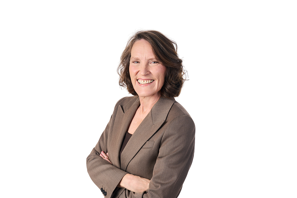


Photo caption: University of Canterbury Master of Geospatial Data Science graduate Bhawana Kafle
Te Whare Wānanga o Waitaha | University of Canterbury (UC) Master of Geospatial Data Science (GIS) graduate Bhawana Kafle is now working as a geospatial analyst at Northland Regional Council.
Her work includes creating maps, field tools and dashboards for internal teams, including a civil defence emergency management dashboard that brings key information into one place during emergency events.
“In an emergency, GIS data can help us prepare,” she says. “After an event, it can help us understand what people need, whether that is shelter, food or other support.”
Her work shows how practical GIS can be in an emergency.
“GIS is not just a map, it’s a tool for solving real-world problems. Dashboards help emergency managers respond before, during and after an emergency. You can make a lot of difference with one dataset and one map,” she says.
Kafle’s interest in GIS began while she was studying forestry in Nepal. After moving to Aotearoa New Zealand, she saw GIS as a way to build on that background and open new career options.
“I was exposed to remote sensing before and I thought it was so interesting,” she says. “GIS felt like a way to keep building on that.”
UC’s Master of Geospatial Data Science appealed because of its professional focus, particularly the internship component, and the opportunity to build coding and technical skills alongside geospatial expertise.
“The internship was what stood out, to be honest. I wanted to get exposed to the real-world job here as well, so I thought the internship would be the best way.”
Returning to study was challenging at first. Kafle had not done coding before and says she initially thought GIS was mostly about maps. The programme pushed her to build new skills, while support from lecturers, supervisors and classmates helped her keep going.
“When I started, I thought I might give up because it was really difficult,” she says. “But over time, I realised I was building skills that I use in my work.”
The internship became an important step into work. At Christchurch City Council, she helped build a tsunami response dashboard with Environment Canterbury, giving communities clear guidance on evacuation zones, routes and safe places.
Christchurch also played a part in her decision to study at UC. After living in Wānaka, she was drawn to the city’s energy and community.
“Christchurch is like my second home."
For Kafle, the work is ultimately about helping people.
“I really want to help communities. If we can help make the world better, then why not?”