Master of Geospatial Data Science
- Degree Structure - Start In
- Semester 1 or 2 (February or July)


Develop skills to effectively analyse geospatial data.
180
The Master in Geospatial Data Science (MGDS) programme equips you to effectively use analytical skills in geospatial data. It is suitable for a diverse range of backgrounds to acquire the knowledge and industry networks to work in a geospatial environment. It will also provide development opportunities for those already in the industry.
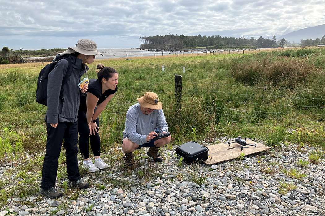
Geospatial Data Science explores the connections within spatial data with other areas such as health, social, or environmental geography. This Master’s will teach you the fundamentals of gathering geolocation data from the field through various technologies (such as drones, GPS, satellites, and more) through to communicating the findings through maps or other visual models.
This programme includes a final supervised research project to culminate your theoretical and technical learnings from throughout the degree.
It is possible to start with the MGDS and switch to a one-year thesis through the 240-point Master of Science majoring in Geospatial Data Science. Both master’s programmes can be pursued alongside an existing career with flexible arrangements for part-time.
Entry to the MGDS requires a bachelor’s degree with at least a B Grade Point Average in courses at 300-level.
You will also need to have previously completed 15 points of undergraduate GIS courses, OR GISC422 Foundations of Geographic Information Systems, OR an approved equivalent course.
If you have not already completed these courses, you may be required to take an approved course or courses prior to approval into the programme.
Please indicate to us in your enrolment application if you have any professional experience in a related industry to GIS.
If English is not your first language, you are also required to meet UC's Postgraduate language requirements. See how to provide your English language evidence to UC. If you need help meeting these requirements, or would like to practise your English skills before studying, UC offers English for Academic Purposes (EAP) language programmes.
For the full entry requirements, see the Regulations for the Master of Geospatial Data Science or use the admission requirements checker.
You can enrol online at myUC.
See Admission and enrolment for all information on enrolling at UC.
The Master of Geospatial Data Science is comprised of 180 points, including 120 points of compulsory and 60 points of elective courses.
The MGDS can be studied full-time for 1 year, or part-time within 3 years.
We recommend a Semester 1 (February) starting with the course GISC426 Spatial data Science and AI, but it may be possible to start with other courses if you have basic knowledge of computer programming.
The MGDS includes compulsory courses on spatial programming, visualisation and spatial analysis, and you may choose your final 60 points from a selection of electives
2026 tuition fee estimate: $15,138 (180 points)
2027 tuition fee estimate: $16,046 (180 points)
2026 Special Programme Fee: $67,950 (180 points)
2027 Special Programme Fee: $71,400 (180 points)
2028 Special Programme Fee: $75,000 (180 points)
You may go on to Doctor of Philosophy (PhD) studies in a large variety of related subjects, for example Geography.
The MGDS provides graduates with the problem solving skills and technical knowledge to undertake advanced geospatial roles.
There is currently a geospatial skill shortage in Aotearoa New Zealand, which graduates of this degree will be able to fulfil in a range of different industries, including the private sector, government, and community organisations. Potential roles could be GIS analyst, GIS planner, local government analyst, or geospatial technology developer.