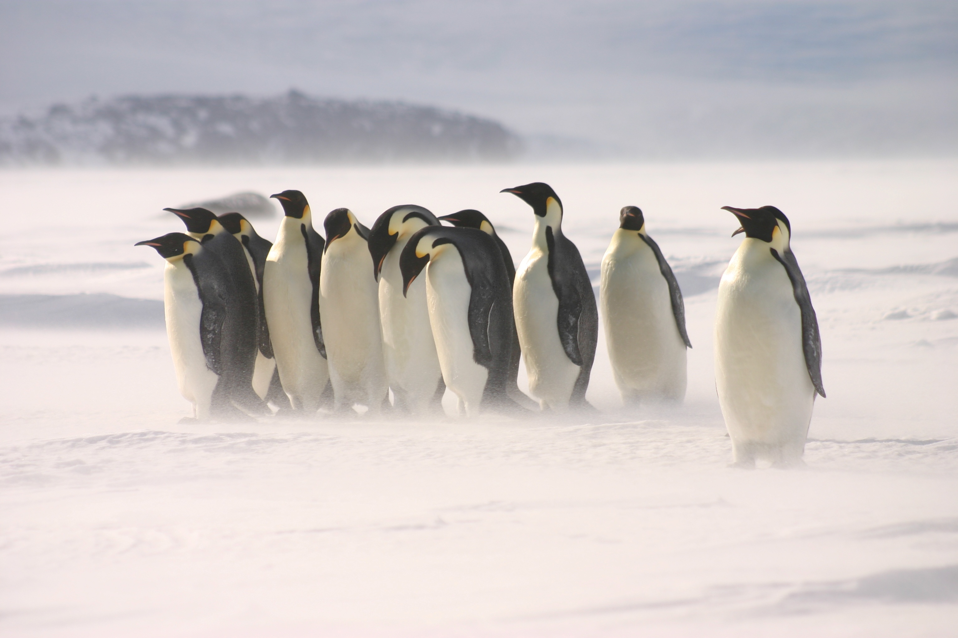


Photo caption: Photo taken by Michelle LaRue under the requisite permits provided by the New Zealand, United States, and/or United Kingdom Antarctic programs or authority.
Key points
UC researchers are using satellite imagery and geospatial science, to monitor Antarctic wildlife in some of the world's most inaccessible environments.
New synthetic aperture radar (SAR) technologies are allowing researchers to detect emperor penguins during the dark Antarctic winter for the first time.
The research is improving understanding of how wildlife responds to environmental change and supporting conservation decision-making.
Monitoring wildlife from space
Studying wildlife in Antarctica presents extraordinary challenges. Harsh weather, remote locations, and months of winter darkness make year-round monitoring difficult using traditional field methods.
Research led by Professor Michelle LaRue from the University of Canterbury’s (UC) Gateway Antarctica (School of Earth and Environment) uses satellite imagery and geospatial science to overcome these barriers. Michelle uses remote sensing technologies to monitor emperor penguins and Weddell seals across Antarctica, providing valuable insights into species distribution, abundance, and behaviour.
Seeing through the Antarctic winter
Recent advances in geospatial technology are transforming what researchers can observe. In particular, synthetic aperture radar (SAR) can detect wildlife regardless of cloud cover or darkness, making it possible to monitor emperor penguin colonies throughout the Antarctic winter.
These capabilities allow researchers to observe a critical stage of the breeding cycle that was previously inaccessible. Identifying winter huddles of male emperor penguins incubating eggs enables researchers to gain a better understanding of breeding populations and long-term population trends. Emperor penguins are an endangered species who rely on stable sea ice, so accurate population estimates are crucial for evaluating the future of the species and how they will respond to changing environmental conditions.
Geospatial science for conservation
The research demonstrates the growing role of geographic information science in conservation and environmental monitoring. With integration of satellite imagery, remote sensing, spatial analytics, and computational methods, researchers can answer questions that would otherwise be impossible to investigate.
Michelle uses remotely collected data to supplement field-based observations, including the tagging and monitoring of individual penguins, helping build a more detailed picture of wildlife behaviour and population change over time.
Geospatial technologies allow us to answer questions that were once impossible, especially in places humans can't easily reach. For species like emperor penguins, this technology provides a window into activities throughout the year and helps us better understand how they live their lives.– Professor Michelle LaRue
Supporting environmental decision-making
Beyond Antarctica, the same geospatial tools have applications across conservation, environmental management, and climate research. The ability to monitor ecosystems remotely and at scale is becoming increasingly important for understanding environmental change and supporting evidence-based conservation decisions.
Through innovations in geographic information science, UC researchers are helping unlock new knowledge about some of the planet's most remote wildlife and the environmental changes affecting them.
Talk to Professor Michelle LaRue about Antarctic ecology, wildlife monitoring, remote sensing, and geospatial science.
Last updated: October 2026
Related topics
Signature Capabilities
Enabling Infrastructure
Sustainable Development Goals (SDGs)
Contact

We gratefully acknowledge funding from Ministry of Business, Innovation and Employment, Royal Society Rutherford Discovery Fellowship, United States Air Force Office of Scientific Research, and the Antarctic Science Platform.
Read other showcases
Take a look at our showcases to see UC’s research expertise in practice.