

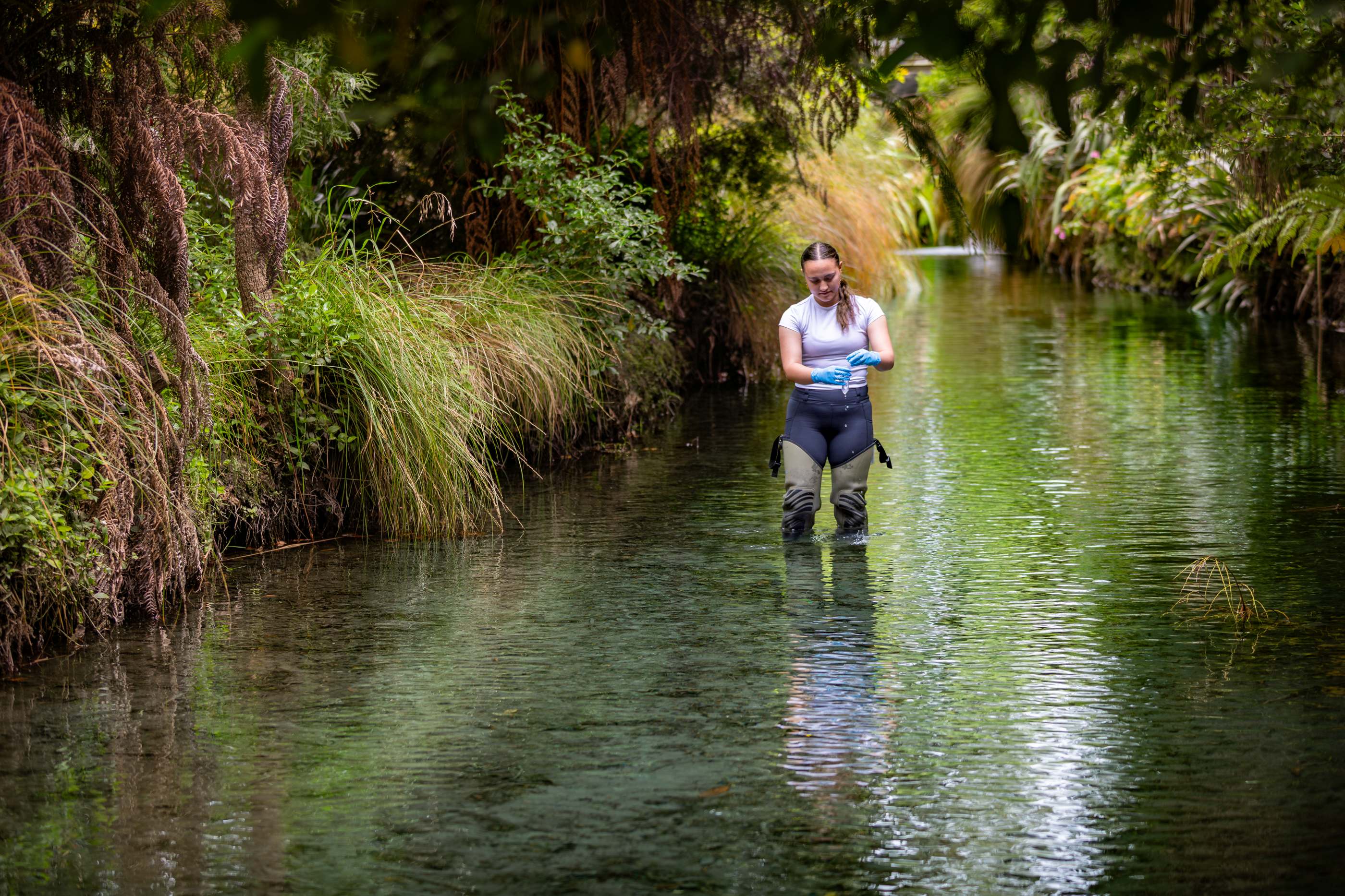
Earthquakes don’t just shake the ground, they can also shift rivers, damage stop banks and raise the risk of flooding for years afterwards.
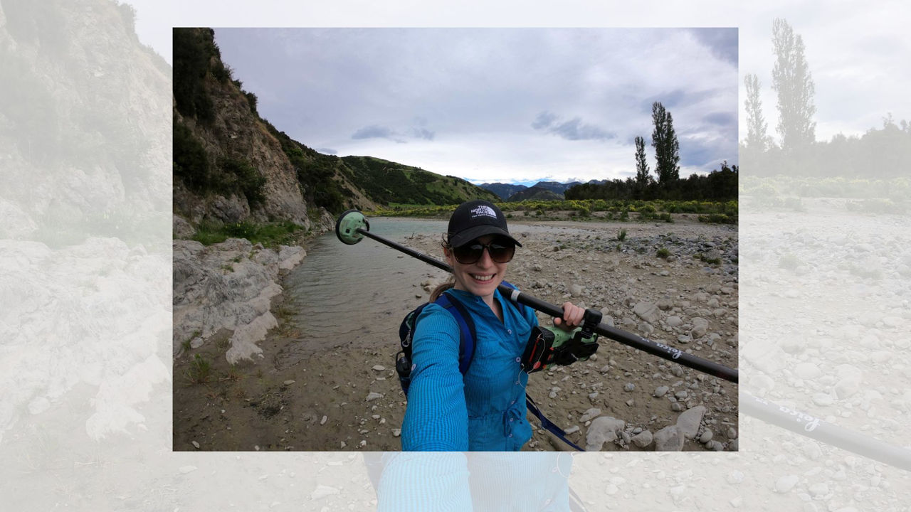
Te Whare Wānanga o Waitaha | University of Canterbury PhD student Erin McEwan has created the world’s first database tracking how earthquakes have changed rivers and flood protection in the past. Her research could give councils and emergency planners new tools to prepare communities for future disasters.
“This is a hazard that hasn’t had much attention before,” McEwan says. “But in New Zealand, where we have thousands of rivers and lots of active fault lines, it’s inevitable that they will intersect and interact.”
Understanding the risks
Over 3,700 rivers in Aotearoa could be at risk of earthquake-related flooding if the fault lines beneath them rupture. More than 450 of these are as large as Canterbury’s Hororata River.
When quakes hit, rivers may shift course, flood, or become blocked entirely, sometimes creating permanent dams and lakes. The 1987 Edgecumbe earthquake, for example, damaged stop banks and altered the Rangitaiki River floodplain. The region has faced major floods since, including the 2017 event that forced 3,000 people to evacuate.
Other quakes, such as those in Christchurch and Kaikōura, also reshaped how water moves across the land, redrawing flood maps and exposing new areas to risk.
Global science, local impact
McEwan’s study combined data from 52 international earthquakes with New Zealand’s fault maps and flood models to test future scenarios.
“If this method was used across New Zealand, it could help communities build more earthquake-resilient flood risk planning,” she says.
Her goal is to get the findings into the hands of councils and planners, so they can run their own “what if” scenarios when making decisions about homes, infrastructure and land use.
Supporting smarter planning
McEwan’s work was supported by a Natural Hazards Commission Toka Tū Ake (NHC) grant awarded to her UC supervisor, Dr Timothy Stahl.
Dr Natalie Balfour, NHC Head of Research, says the project highlights how earthquake risk extends beyond shaking.
“From a planning perspective, knowing where flooding is more likely after a quake gives us a powerful new tool to protect people and properties,” she says.
For McEwan, the message is clear: “We can’t stop earthquakes or floods, but we can help people be ready for them.”
,%20Jake%20Campbell%20(CTO%20and%20co-founder),%20Jamie%20Cairns%20(CEO%20and%20co-founder)%20lowres.jpg)