

Key UC Contact


What We Did
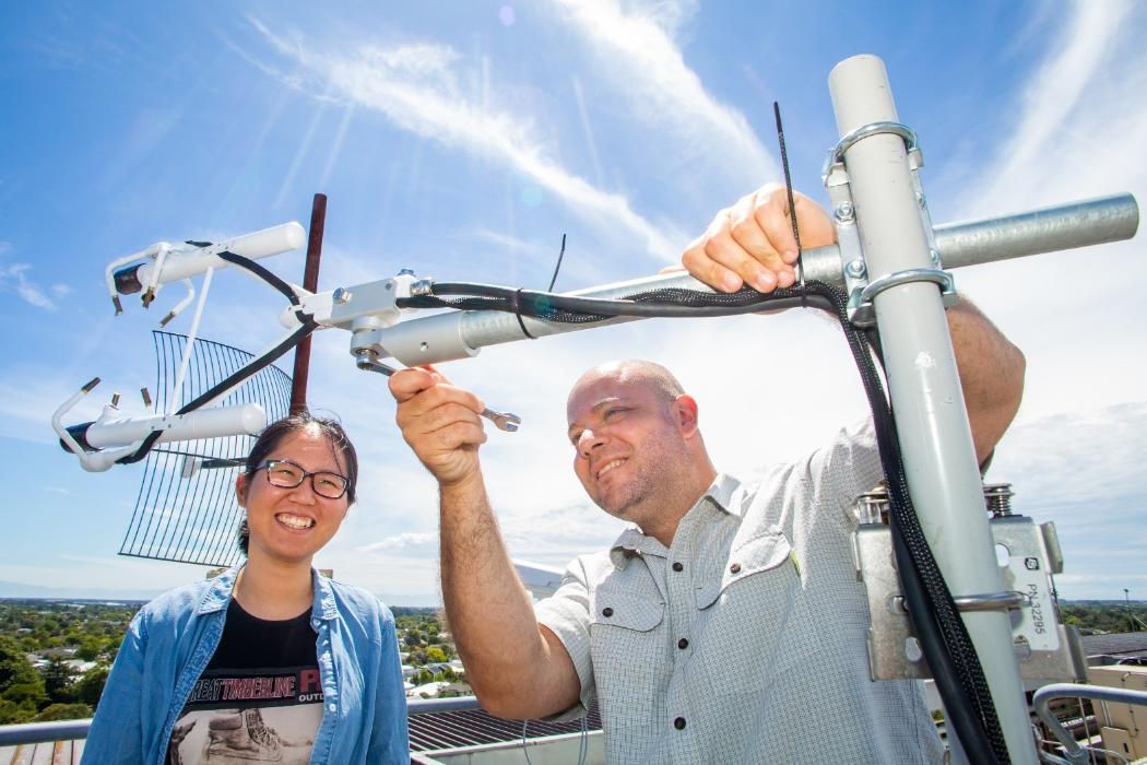
We developed a numerical modelling coupler that can dynamically interconnect weather predictions at the regional scale to urban scale pollution and weather variables for Christchurch. Our numerical toolkit connects the Weather Research and Forecasting (WRF) model used by the New Zealand Met Service with the high-resolution Parallelized Large-Eddy Simulation Model (PALM) developed at the University of Hannover in Germany. Our modelling was underpinned by an air quality measurement field campaign in Christchurch during winter 2019. By coupling the models together, we can now investigate meteorological events at the city scale, such as air pollution, wildfires and fog formation.
Who Was Involved
The research was funded via the Ministry of Business, Innovation and Employment Smart Ideas project “Particulate Matter Emission Maps for Cities” and carried out in collaboration with researchers from Bodeker Scientific, NIWA, Environment Canterbury and Karlsruhe Institute of Technology.
Why It Matters
Around 90% of the world’s population lives in places where the World Health Organisation’s air quality guidelines are not met on a regular basis. Developing the capability to simulate air pollution events at high resolution serves as a useful tool to provide information for policy makers.
Learn More
WRF4PALM v1.0: A Mesoscale Dynamical Driver for the Microscale PALM Model System 6.0, D. Lin, B. Khan, M. Katurji, L. Bird, R. Faria and L. E. Revell, Geoscientific Model Development, 2021.
https://gmd.copernicus.org/articles/14/2503/2021/gmd-14-2503-2021.html
