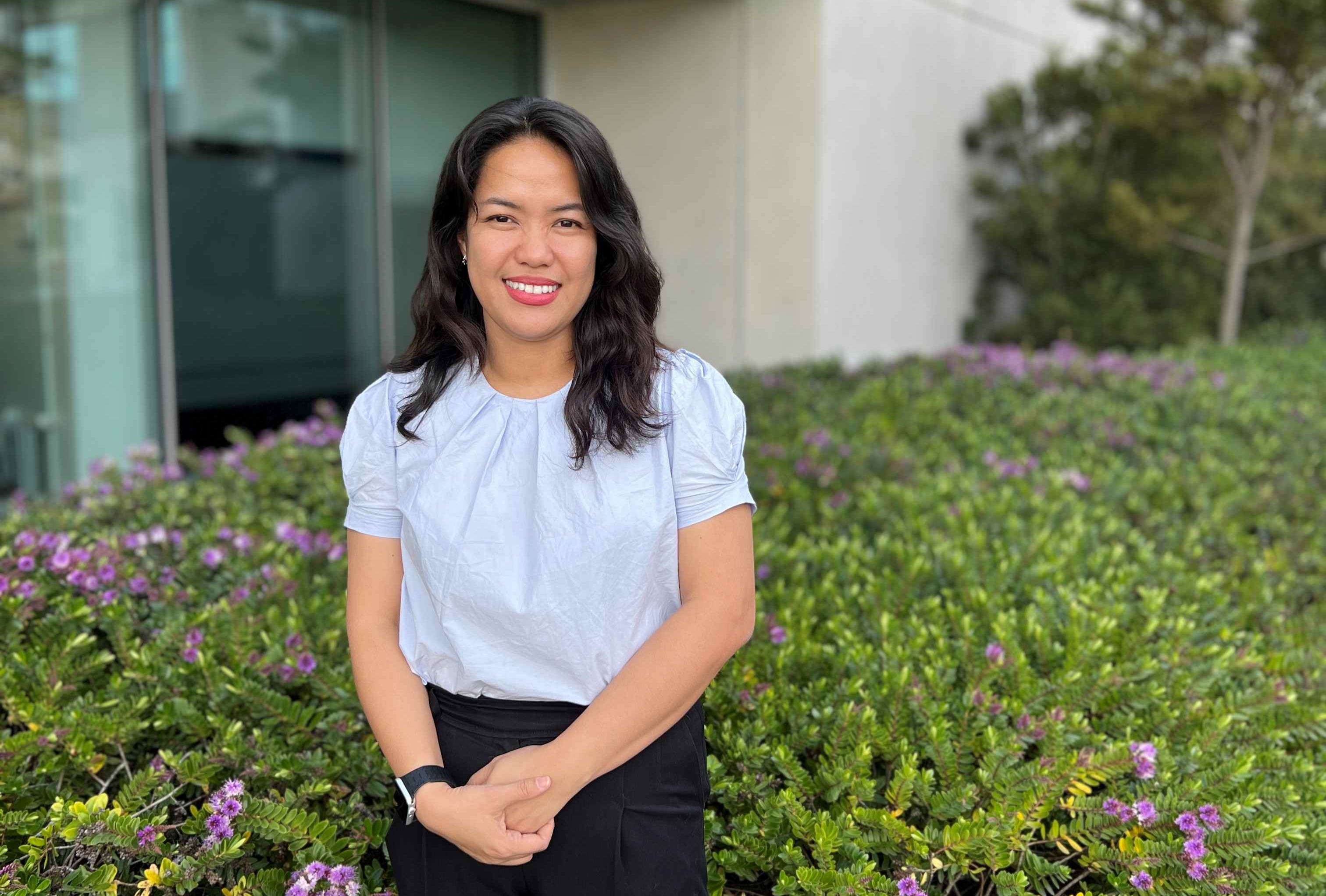
Photo caption: UC Associate Professor Michelle LaRue studies emperor penguins in Antarctica both in the field and remotely using cutting-edge geographical information science tools (photo credit Ross Kirby).
Geographical Information Science (GIS) researchers from around the world will learn how the digital tools they have developed are being applied to transforming wildlife conservation in Antarctica at UC.
The GIScience 2025: Thirteenth International Conference on Geographic Information Science is being held at Te Whare Wānanga o Waitaha | University of Canterbury (UC) from 26 to 29 August.
It is the first time the flagship conference has come to New Zealand and only the second time it has been held in the southern hemisphere, creating a forum for knowledge exchange in Ōtautahi Christchurch.
UC Associate Professor Michelle LaRue will deliver a keynote address at GIScience 2025, outlining her trail-blazing use of GIS tools to study emperor penguins during the harsh Antarctic winter.
Since 2008, Associate Professor LaRue has used satellite imagery and GIS tools to monitor Weddell seals and Emperor penguins in one of the world’s most remote environments. Recent advances, particularly synthetic aperture radar (SAR), now allow her team to detect penguins in complete darkness, offering unprecedented insights into their behaviour during a season that was previously out of bounds to researchers.
“GIS tools allow us to answer questions that were once impossible, especially in places humans can’t reach,” Associate Professor LaRue says. “For species like emperor penguins, this technology provides a window into their lives year-round, helping us better understand their reality in a changing climate.”
Associate Professor LaRue will combine data gathered remotely over winter with an upcoming visit to Antarctica to tag emperor penguins. Monitoring individual animals will help create a more complete picture of wildlife behaviour and changes over time.
GIScience 2025 will bring together more than 250 international experts from academia, industry and government to advance GIS technology. Aotearoa is a leader in GIScience, which spans data gathering, computational innovation and applied geographic research, informing decision making across government and private sectors. The conference is organised by UC alongside partners from the University of Auckland, Massey University and University of Otago, supported by ChristchurchNZ and Tourism New Zealand.
.jpeg/_jcr_content/renditions/cq5dam.web.1280.1280.jpeg)

.png)

.png)