

Weather information for Cass
Check out the current weather conditions at Cass:
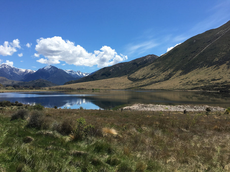
Looking west towards Arthur's Pass
Looking southeast towards Purple Hill
Live weather data and a weather forecast for Cass can be viewed at Cass weather. This weather station is part of the FENZ (Fire and Emergence New Zealand) national network used to monitor current weather for rural fire risk levels.
UC also has an automatic weather station at the Cass Field Station, installed in 1996. Data since 2021 are visible through NIWA’s National Climate Database (CliFlo system ). For weather data before 2021, contact the Field Services Manager.
Native Tree Planting Programme
This annual event will develop students’ practical skills in forest restoration, while fostering an understanding of high-country ecosystem management. The Cass Mountain Research Area, a 1775-hectare UC-owned site, supports various interdisciplinary research projects that align with UN Sustainable Development Goal 15, exploring topics from seedling propagation to economic and ecological considerations. UC's partnership with the UCSA’s Forestry Society in associate with Waimakariri Ecological and Landscape Restoration Alliance further connects students to those who live and work in these mountain environments, enriching their ecological and cultural knowledge.
Maintaining biodiversity at Cass
A major threat to the native biodiversity in the Cass area is invasion of native ecosystems by woody weed species. UC is currently managing/controlling the following weeds at Cass:
- Douglas fir - this tree specis is invading the grassland and shrublands at CMRA and if left unchecked would become the dominate plant in the area.
- Gorse and broom. These weeds have spread onto Cass from the river corridor and the road and rail networks.
- Russel Lupins – these plants are major ecological weeds in the unique braided rivers of eastern South Island.
- Willows – As these are major environmantal weeds in lakes and river edges and invade wetlands, modifying the stream flows and altering native fish habitats. Currently UC is working on the removal of willows along the entire length of Grasmere stream.
UC is also undertaking mammalian pest control: this includes, possums, deer and pigs.
We control the invasive German/European wasps, by poisoning in late summer each year. This control has led to a noticeable reduction of wasps in the native beech forests at Cass and safer teaching field trips in the area.
History of Cass field station
The Cass Mountain Research Area (CMRA) consists of 1775 ha of eastern South Island mountain land located in the Cass River basin, upper Waimakariri River catchment, North Canterbury. The research area is owned and operated by the University of Canterbury. The CMRA is located on part of the land that was given to the University of Canterbury (as the Canterbury College) by the then Provincial Government as an endowment for the promotion of superior education. The main purpose of the CMRA is to provide research and learning opportunities for UC staff and students.
The CMRA comprises two prominent peaks, Cass Hill (1098m) and Sugarloaf (1359m), as well as river terraces and alluvial fans. The Cass Basin forms part of the mid-Waimakariri intermontane river basin in the central South Island and provides a very wide range of environments - montane grasslands, scrub, riverbed, scree, beech forest, swamp, bog, lake, stream and alpine habitats.
The history of the Cass Field Station is described in the 1977 publication "CASS: History and Science in the Cass District, Canterbury, New Zealand" edited by C.J. Burrows.
Flora checklist
There is a wide variety of flora in the Cass Mountain Research Area. The checklist is a record of the plants located in the area.
