
Contact us
Regular hours
Refer below for contact hours.
Special hours
If you are a current UC student, our student advisors are here to help you plan your degree and courses. Get in touch at sciencedegreeadvice@canterbury.ac.nz today.
-
Nicki McMillan
27 November 2023

-
Nicki McMillan
-

Nicki McMillan
Academic Services Manager - Faculty of Science
-
Roseanna Brailsford
30 June 2026
-
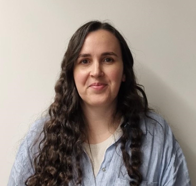
Roseanna Brailsford
-

Roseanna Brailsford
Student Advisor
-
Anna Johnson
27 May 2025
-
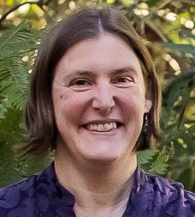
Anna Johnson
-
Anna Johnson
Student Advisor
-
Andre Maasjosthusmann
27 May 2025
-
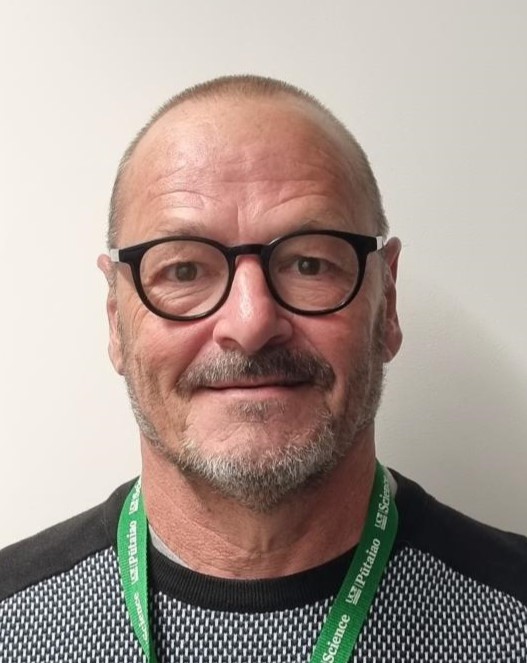
Andre Maasjosthusmann
-
Andre Maasjosthusmann
Student Advisor
-
Kathryn Treeby
20 November 2023
-
Kathryn Treeby
-
Kathryn Treeby
Department Administrator
