

Key UC Contacts


What We Did
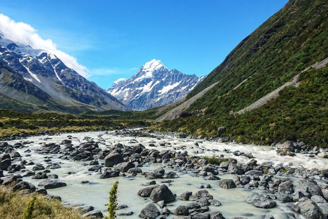
We developed systems to collect information on the quality of the environment. The surveys are designed so that the data collected in the field are informative and can be used to support good decision making. This means that the sites where the field data are collected from are located in such a way that they cover the region, the design is flexible so that the survey can adapt to changing information needs, the design is robust to allow extra effort in hot spots of interest, and the data can be used to track changes over time. On top of all this, the designs are logistically feasible. Surveys can’t be undertaken in places or at times simply because they are convenient, and instead the design must be based on both good statistical theory and practical knowledge of field surveys.
Who Was Involved
The research group includes members from the School of Mathematics and Statistics at UC, and from the Department of Mathematics and Statistics at University of Wyoming, USA, the USA based environmental and statistical consulting group Western EcoSystems Technology, Inc., the Department of Applied Mathematics at Université de Pau et des Pays de l'Adour, France, the Department of Statistics at Razi University, Iran, and the Department of Mathematics, Statistics and Physics at Qatar University
Why It Matters
Without good quality information on the changes in the environment, policy and management decisions can be compromised. It is important to understand the changes in pest numbers, in air and water quality, or in the population size of a rare native bird to help decide if the steps we are taking in Canterbury to improve biodiversity and the environment are effective. There will always be some fluctuation in the indices we use to assess the environment. We are designing robust long term monitoring surveys that will ensure any trends over and above these fluctuations can be detected.
Learn More
The research is ongoing, and some relevant publications are listed below:
- Curran MF., Cox SE., Robinson TJ., Robertson BL., Strom CF. and Stahl PD. (2020) Combining spatially balanced sampling, route optimisation and remote sensing to assess biodiversity response to reclamation practices on semi-arid well pads. Biodiversity http://dx.doi.org/10.1080/14888386.2020.1733085Kermorvant C., D'Amico F., Bru N., Caill-Milly N. and Robertson B. (2019) Spatially balanced sampling designs for environmental surveys. Environmental Monitoring and Assessment 191 524: 7. http://dx.doi.org/10.1007/s10661-019-7666-y
- Robertson, B., McDonald, T., Price, C., & Brown, J. (2018). Halton iterative partitioning: spatially balanced sampling via partitioning. Environmental and Ecological Statistics, 25(3), 305-323. http://dx.doi.org/10.1007/s10651-018-0406-6
- van Dam-Bates P., Gansell O. and Robertson BL. (2018) Using balanced acceptance sampling as a master sample for environmental surveys. Methods in Ecology and Evolution 9(7): 1718-1726. http://dx.doi.org/10.1111/2041-210X.13003
