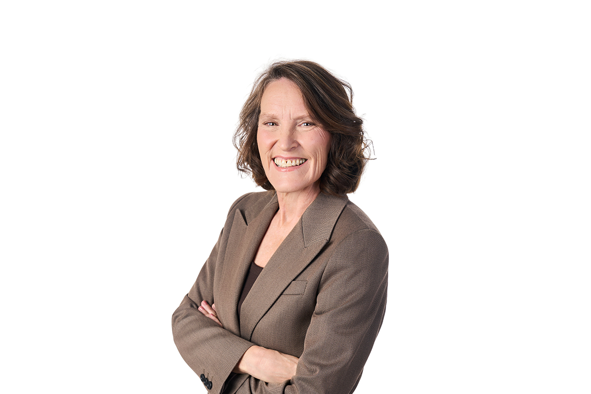


Photo caption: University of Canterbury Spatial Data Science Lecturer Dr Carolynne Hultquist is leading an international study using geospatial data and AI to predict areas at risk of flooding and extreme heat.
Te Whare Wānanga o Waitaha | University of Canterbury (UC) Spatial Data Science Lecturer Dr Carolynne Hultquist is leading an international Group on Earth Observations (GEO) Microsoft-funded study using geospatial data to solve real-world problems. GEO is a global collaboration between governments, scientists and local communities with the goal of creating innovative solutions to challenges such as climate change.
Dr Hultquist, from UC’s School of Earth and Environment, says remote sensing data from satellites can be combined with artificial intelligence (AI) tools to improve models and help predict at risk locations for future flooding events.
“The models we’re developing will be open source and available to everyone who needs them, from governments to residents.
“We’re integrating data on populations derived from censuses, and remote-sensing imagery to help fill the gaps in our knowledge and develop better datasets on historical trends of hazard exposure. Better historical data prepares us to make better predictions of where flooding is likely to happen and hopefully prevent lives being lost.”
The research is also investigating areas where excessive heat is likely to occur. “We have huge growth in populations with vulnerable communities living in areas that are experiencing more extreme temperatures,” Dr Hultquist says. “Preliminary work indicates that 23 million people around the world are at risk of exposure to more than 60 days of extreme heat and flooding; 59 million people are at risk of exposure to more than 30 days of these hazards; and 162 million people are living in areas at risk of exposure to more than a week of heatwave and flooding.”
Dr Hultquist is collaborating with computer scientists at the University of Canterbury (Senior Lecturer James Atlas, postgraduate student James Houghton) and Montana State University geographers (Assistant Professor Cascade Tuholske, postdoctoral researcher Dr Andy Zimmer) on the work which will be presented at the International Conference on Machine Intelligence for Geoanalytics and Remote Sensing (MIGARS) in Wellington in April.
“The main concept is being able to have more reliable input to base our flood modelling on and get a better idea of frequency,” Dr Hultquist says. “Back in the 1970s and 1980s there was a lot less remote-sensing data available than there is now. So, we’re using AI to fill in those gaps in data for missing timeframes and learn more about the patterns and trends of these events over time. By learning about the past, we can make better predictions for the future.”
Dr Hultquist focuses on working with humanitarian organisations such as Red Cross in applied research aimed at making a positive difference to real-world problems. “My work supports decision-makers and disaster-relief organisations to have the most accurate information so they can alert people about the risks of building in certain areas and develop early warning systems to help residents evacuate quickly,” she says.
“I believe technological development should be closely connected to social good and impact, so we need to work closely with people and community groups who are doing this work and find out what data they need, then develop technology to help meet those needs.”
Dr Hultquist says flood exposure in urban areas has increased due to building in flood-prone areas, the expansion of artificial surfaces such as pavements made from water-resistant materials, and removal of vegetation. Furthermore, climate change is increasing the frequency and intensity of flood events. “A lot of communities are struggling to manage these sudden changes. The models we’re working on help us get a better understanding of what impact each of these factors is having on the overall risk.”
Dr Hultquist is Secretary of the American Geophysical Union (AGU) Natural Hazards section and co-chair of the Committee on Data (CODATA) Citizen-Generated Data for the Sustainable Development Goals (SDGs) task group of the International Science Council.
 Sustainable Development Goal (SDG) 9 - Industry, innovation and infrastructure.