Geospatial Science and Technology
Qualifications
Overview
Geospatial Science and Technology intersects relevant disciplines such as Data Science, Computer Science and Earth and Environment with spatial analysis. Students gain skills in programming, research analysis, database management, geospatial technology, and communication.
UC offers a range of programmes, providing foundational knowledge for those from a diverse range of backgrounds to progress to entry-level geospatial roles, further postgraduate study or research, as well as development opportunities for those already in the industry.
- UC has extensive research strengths and strategic partnerships in the field of geospatial technology, such as the Geospatial Research Institute | Toi Hangarau.
- Geospatial science is recognised on Immigration NZ’s current Long-Term Skill Shortage List.
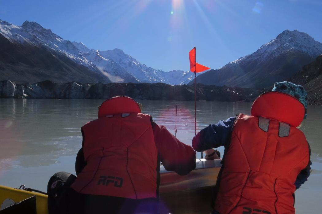
- Students are able to apply their geospatial skills through lab and field work, and the opportunity for an internship.
Students should have completed a bachelor’s degree with at least a B Grade Point Average in their 300-level courses in an area relevant to geospatial analysis, or equivalent, or three years of professional experience in a related industry.
Prospective students without a geospatial study background should take GISC 422 Foundations of Geographic Information Systems prior to enrolment in the programme.
Students will be approved by the Academic Dean of Science based on the standard of their previous studies and work experience.
Students with English as an additional language are also required to meet UC's English language requirements.
- GISC 402 GI Science Research
- GISC 404 Spatial Analysis
- GISC 406 Remote Sensing for Earth Observation
- GISC 411 Geographic Information Systems (GIS) in Health
- GISC 413 Geomatic Data Acquisition Techniques
- GISC 415 Geographic Information Systems (GIS) Internship
- GISC 412 Spatial Algorithms and Programming
- GEOG 693 Geospatial Science and Technology Project
There is currently a geospatial skill shortage in Aotearoa New Zealand, which graduates of or postgraduate programmes will be able to fulfil in a range of different industries, including the private sector, government, and community organisations. Potential roles could be GIS analyst, GIS planner, local government analyst, or geospatial technology developer.
Browse related subjects to Geospatial Science and Technology
Choose an area that you are interested in and learn how UC's extensive range of study options can let you study what you want to.

Data Science
Data Science is an emerging field that combines Computer Science, Mathematics, and Statistics with other disciplines. It involves understanding and analysing ...

Geography
Geography is the study of human behaviour, the environment we live in, and the relationship between both. This field combines arts and sciences to find ...