

The gear is available to both staff and students and survey methods are taught in a number of physical geography courses.
Survey-grade GNSS
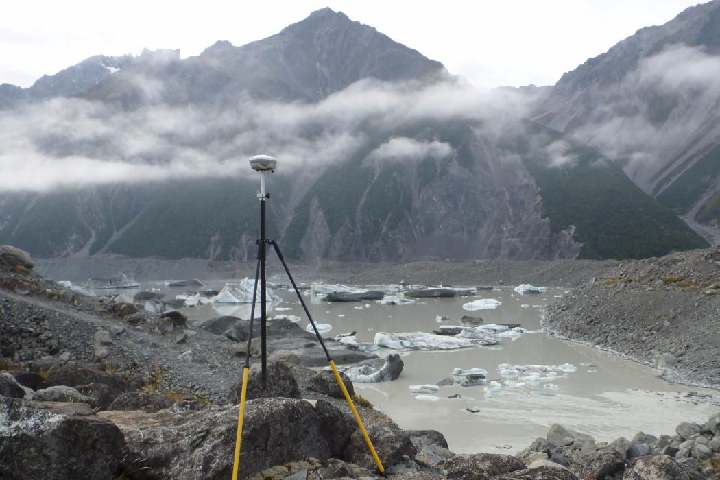
We have 9 x Trimble R8, 3 x Trimble Net R9S, and access to Trimble VRS Now for online real time base station corrections. Survey grade GNSS is taught in a number of physical geography courses including GEOG 211, GEOG 311, GEO G313, and GISC 401. The gear is used for a range of activities including ground truthing of remotely sensed imagery, mapping, ground penetrating radar, snow and ice research, bathymetric mapping, coastal monitoring etc.
Mapping-grade GNSS
When sub-meter accuracy is all you require then mapping grade GNSS or GPS is all you need. The School has a class set of Trimble Junos, plus 2 Trimble 7Xs and 4 Trimble GeoXHs. The Junos are used for teaching and are capable of differential correction while the 7Xs and GEOXHs are used more for research. The 7X and GeoXH are capable of sub-foot accuracy. These devices are all rugidise for the field and are freely available for student projects
Autonomous GPS
When a quick low accuracy point is all you need, a Garmin GPS is perfect for the job. We have a large number of Garmins available for student work. They are great for figuring out where you need to go or taking a quick reference for your field sites etc.
Multistation (Scanner and robotic total station)
The Leica MS60 Multistation is a scanner and total station combined. With a range of 10km to a prism and 2km reflectorless, this machine is capable of taking precise measurements at up to 1000 points a second. This is an exciting piece of equipment that can be used to scan landslides, glaciers, coastal areas etc autonomously and then 3d models can be created for analysis and interpretation.
Total stations
There are 4 Sokia total stations available for teaching and research. A total station is a EDM (Electronic distance meter) combined with a theodolite (for measuring angles) and is a very accurate way of measuring both angles and distance. For mapping features at mm accuracy, you need a total station. They can also be integrated with the Trimble controllers so you can do both GNSS and conventional mapping in the same job. This means when you can't get the GNSS to the feature you want to map you can use the total station. The reflectorless technology on the total stations means you can collect data up to 300m away, making it perfect for hazardous areas like rock falls and glaciers. We also have handheld laser rangefinders which can be used to give a less accurate but more portable solution.
Support
The School has two technicians available to help with survey gear.