
Contact us
Regular hours
Refer below for contact hours.
Special hours
Follow us on social media
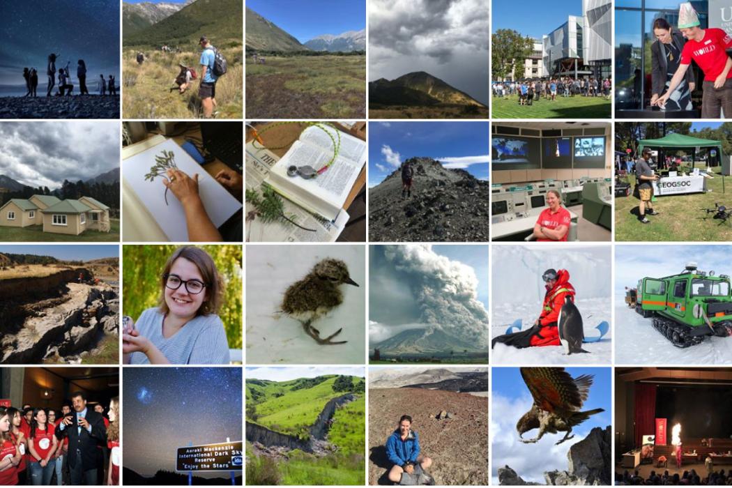
There’s nothing we love more than ‘doing science’, but we never stop talking, reading, watching and learning from others.
Social media is a fantastic vehicle for communication, collaboration and engagement with and between departments, research centres, industry, scientists, and the wider community.
Follow the official UC Science channels for all the latest from students and staff who live and breathe UC Science, and be sure to join the conversation using #ucscience!
Affiliated channels
Some of our schools, departments, research centres and programmes have their own social media channels. Check out the list below and if you know of one we've missed, please let us know!
Biomolecular Interaction Centre
CAREX
Department of Geological Sciences
Gateway Antarctica
Geohealth Laboratory
Marine Ecology Research Group
Reef Uplift Research Consortium
Speech and Hearing
School of Biological Sciences
Mental Health and Nutrition Research Group
School of Physical and Chemical Sciences
UC Swallowing Rehab Research Lab at the Rose Centre
Our people
Office of the Executive Dean
-
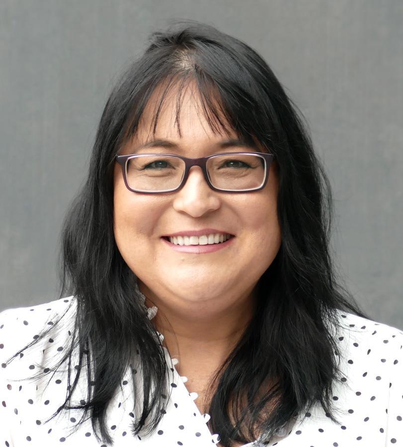
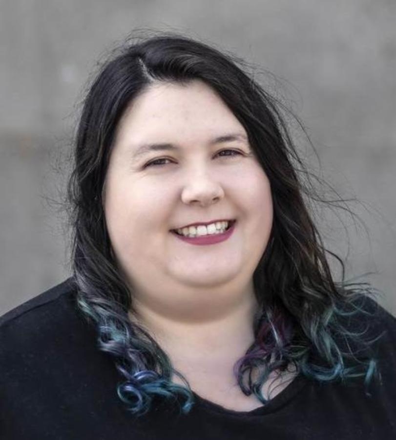
Sarah Young

-
Sarah Young
-
Sarah Young
Amo Matua, Pūtaiao
Executive Dean
-
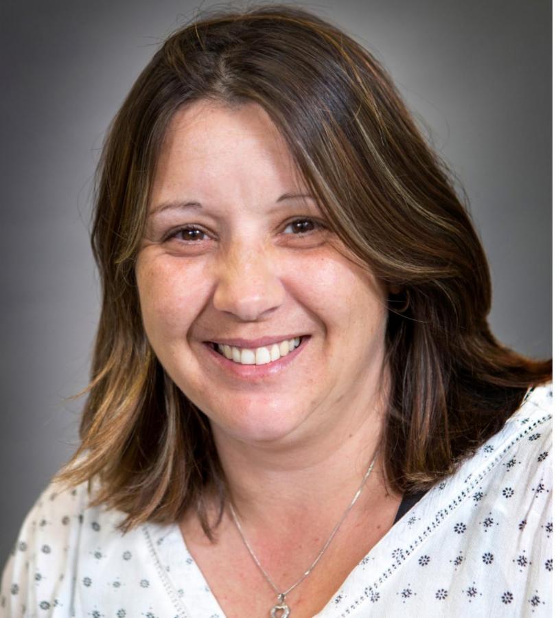
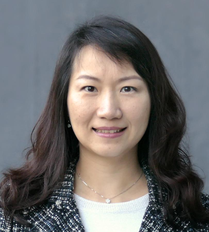
Deirdre Hart
-
Deirdre Hart
-
Deirdre Hart
Associate Dean
-
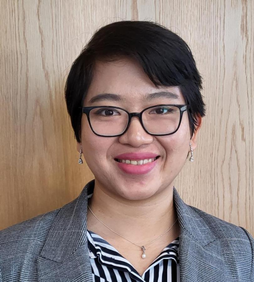
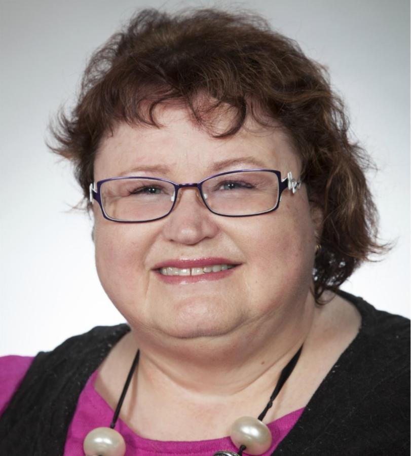
Leanne Keenan
-
Leanne Keenan
-
Leanne Keenan
Faculty Manager
-
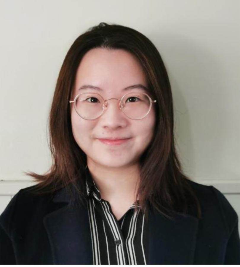
Casey Davies
-
Casey Davies
-
Casey Davies
Faculty Compliance Manager
-
Kerri Teramura
-
Kerri Teramura
-
Kerri Teramura
Personal Assistant
-
Marc Harris
-
Marc Harris
-

Marc Harris
Faculty Office Administrator
Finance
School and Department contacts
