

Photo credit: Erin Atkinson, Queensland Parks and Wildlife Service
Sand dunes are not an obvious place to find high-quality fire records. For a start, anyone who walks on the forested sand dunes of South-East Queensland will be impressed by the intensity of ant activity at their feet. The ant nests extend at least 2 metres below the surface. As the ants move materials around their nests, any charcoal from past fires that’s preserved in the sand would be severely disturbed.
Somewhat surprisingly, though, soil pits dug at the bottom of the slope of dune front walls (the leading edge of a dune) revealed different sediment layers are preserved there. This shows ant activity is not intense on the foot slopes. It’s possible for undisturbed charcoal records to be recovered from this part of the dune.
Our newly published research focuses on four well-dated sand dunes. Unlike previous studies that extracted fire histories from sediment cores from lakes, bogs and other organic sediments, we extracted fire records from these dunes. We believe this is a breakthrough that will greatly expand the areas for which we can extract fire histories.
Swamps and lakes are typically found in more humid areas and near the coast, whereas sand dunes occur widely across drier areas of Australia, including desert regions. This new source of fire histories can help us broaden our understanding of fire in Australia.
Why does a new source of fire records matter?
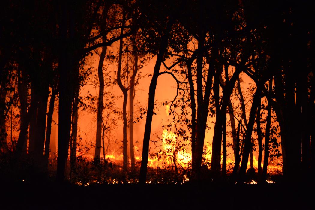
Fire is important in the Australian landscape. Many ecosystems are designed not only to survive fire but need burns to survive and thrive.
In recent years, however, the scale and intensity of bushfires in Australia have increased, culminating in the Black Summer of 2019-20. During that summer, areas that did not normally burn severely were intensely burned. The fires caused long-lasting damage to vegetation and significant loss of both human and animal life and buildings.
There are concerns that if the climate patterns associated with the Black Summer fires become more established, Australia’s ecology could be permanently altered and human activities severely impacted in many regions.
There is an urgent need to better understand the role of fire in the Australian landscape, prompting a surge in research on both modern fire behaviour and extracting fire histories from the landscape. These histories are crucial, because they can help us to identify and quantify the risk of fires. These studies can also highlight where climate and ecological changes have created new fire risk.
Scientists have until now relied on cores from lakes, bogs and other sources of organic sediments to extract fire histories. The gradual accumulation of these sediments preserves charcoal from past fires in layers. The layers can be dated, revealing the age of the charcoal and hence when the fire occurred. This means we can extract continuous records of past fire regimes from these sediments.
However, because of the focus on organic-rich sediments, these fire histories have been limited to humid areas, where swamps and lakes are present. Sediments like these are mostly close to the coast. Fire hazard is much more widely spread in Australia.
So what did the dune study find?
Our study focuses on the fire history of the Cooloola Sand Mass between Noosa and Tin Can Bay in South-East Queensland. We examined four well-dated sand dunes ranging from 500 to 10,000 years old.
In a 2022 study, we showed there are two distinct phases in the sediment records. These match a historic change in slope processes on the dunes.
For the first 1,000 years after the dunes stabilised, frequent but minor flows of sand grains down the front face of the dune slowly built up sediments at the foot of the dune. The sand deposited at the base includes the remnants of charcoal from local fires that deposited on the dune’s surface. This sediment builds up over time, preserving layers of charcoal from fires.
The distinct layers of charcoal in the sand represent individual fire events. These charcoal layers can be reliably identified using radiocarbon dating.
After about 1,000 years, the dune slopes became less steep. Slow soil creep, which is the gradual grain-by-grain movement of sand through the ground under gravity, became the dominant process. Charcoal is dispersed through the sediments. This means individual fires cannot be recognised but overall fire activity is still well recorded.
We compared the fire records from the sand dunes to local and regional fire histories. The records from the dunes matched the other records. Our records show a relationship between fire and stronger El Niño Southern Oscillation (ENSO) periods – associated with more frequent drought conditions – in South-East Queensland.
There are very few fire histories from dryland regions worldwide. And, like Australia, extreme fires are increasing in these regions, which include California and Mediterranean Europe. We should now be able to better define natural fire hazard in these arid zones.
This article was originally published on The Conversation